
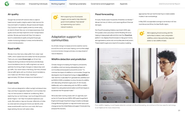
Introduction Empowering individuals Working together Operating sustainably Governance and engagement Appendix 2023 Environmental Repo爀琀 Air quality Flood forecasting approaches that use machine learning to create scalable models in real-world se琀琀ings. We’re exploring how AI and aerial 58 Google has worked with several cities to capture imagery can be used to help cities and Annually, 昀氀oods cause thousands of fatalities worldwide, governments address “heat islands” In May 2023, we expanded coverage to territories in 60 new hyperlocal air quality insights used to help improve the disrupt the lives of millions, and cause signi昀椀cant 昀椀nancial by implementing cool roofs in countries across Africa, the Asia-Paci昀椀c region, lives and health of residents. We pa爀琀nered with Dublin damages. relevant locations. City Council to map air quality street-by-street using an electric Street View car, to increase awareness of air Our Flood Forecasting Initiative, launched in 2018, uses quality levels and help implement sma爀琀 transpo爀琀ation AI to predict when and where riverine 昀氀ooding will occur, We’re applying AI and working with 昀椀re policies. We also pa爀琀nered with New York state to helping to keep people safe and informed. Our Flood Hub authorities to detect, track, and predict Adaptation suppo爀琀 for launch a statewide air quality and greenhouse gas pla琀昀orm now displays 昀氀ood forecasts to help governments, wild昀椀res, and to help authorities respond mobile monitoring initiative in areas overburdened by aid organizations, and at-risk communities take timely action. be琀琀er to new wild昀椀re threats. communities environmental pollution. These breakthroughs are a result of innovative modeling As climate change increases extreme weather events around the world, we’re also helping communities adapt Road tra昀케c to environmental changes and stay one step ahead of natural disasters. We also know that many cities su昀昀er from urban road tra昀케c, which wastes fuel and creates harmful air pollution. That’s why we created Green Light, an AI tool that Wild昀椀re detection and prediction measures driving trends at intersections and develops recommendations that city tra昀케c engineers can use to Climate change is increasing the frequency and severity optimize the timing of light changes to reduce stop-and- of wild昀椀res, which are having a devastating impact on 56 go tra昀케c. Our recent tests in Hamburg, Germany showed communities and ecosystems around the world. To that at tra昀케c lights with our AI-driven recommendations, minimize the impact of wild昀椀res on communities, Google has cars made over 25% fewer stops, resulting in developed a new AI-based technology to map wild昀椀res in 55 approximately 10% fewer emissions at intersections. near real time. It uses data from geostationary satellites such as NOAA’s GOES constellation to show the size of a wild昀椀re, with data being refreshed roughly every 15–20 minutes. Cool roofs Additionally, we’re collaborating with the USFS on wild昀椀re research by using advanced simulation and AI techniques to Cool roofs are designed to re昀氀ect sunlight and absorb less 57 accelerate their 昀椀re spread model. heat, and they’re especially impac琀昀ul in communities that may not have access to reliable air conditioning. We’re We’ve also been working closely with U.S. agencies, such exploring how our technology—such as AI algorithms and as the U.S. Forest Service (USFS). USFS used Google Ea爀琀h aerial imagery—can help more places implement cool Engine and Google Cloud technology to build a Landscape roofs. We’re able to map out the solar re昀氀ectivity of cities Change Monitoring System to map and monitor land cover so urban planners and governments can identify what From wild昀椀re mapping, to ea爀琀hquake detection and ale爀琀s to 昀氀ood forecasting, we continue to 昀椀nd new ways for technology change across the United States and suppo爀琀 forest planning areas would bene昀椀t most from cool roofs. We’ll soon to be helpful at the most critical times. and post-昀椀re recovery. begin piloting this tool with select cities. 23
 2023 Environmental Report Page 22 Page 24